Dr. Gabriel Williams
Associate Professor
Office: RITA 333
Phone: 843.953.0278
Email: williamsgj@cofc.edu
Home
Curriculum Vitae
Research
QuickStudy Tools
Career Guide in Meteorology
Preparation for Meteorology
Mesoscale Analysis Page
Tropical Cyclone Page
|
|
For those who like a broad introduction to mesoscale weather analysis, see the following link on storm spotting (along with the links at the bottom of that page).
Satellite Data
Three useful sites that provide satellite images are:- GOES Image Viewer: NOAA provides a whole suite of satellite imagery from GOES-West and GOES-East, updated at 5 minute intervals.
- RAMMB Slider: The Regional and Mesoscale Meteorology Branch (RAMMB) of NOAA conducts research on the use of satellite data to improve analysis, forecasts, and warnings for regional and mesoscale meteorological events.
- NexSat: The Naval Research Laboratory (NRL) Next-Generation Weather Satellite (NexSat) is a public-accessible weather satellite website developed and maintained by NRL Monterey.
Radar Data
Three useful sites that provide radar images are:- NEXRAD: The College of DuPage provides composite radar and dual-polarimetric radar images.
- NWS National Doppler Radar: This webpage provide real-time national radar imagery, along with national radar mosaic sectors.
- WeatherOK Inc.: This webpage provides real-time and archive radar data back to 1995.
Surface Weather Data
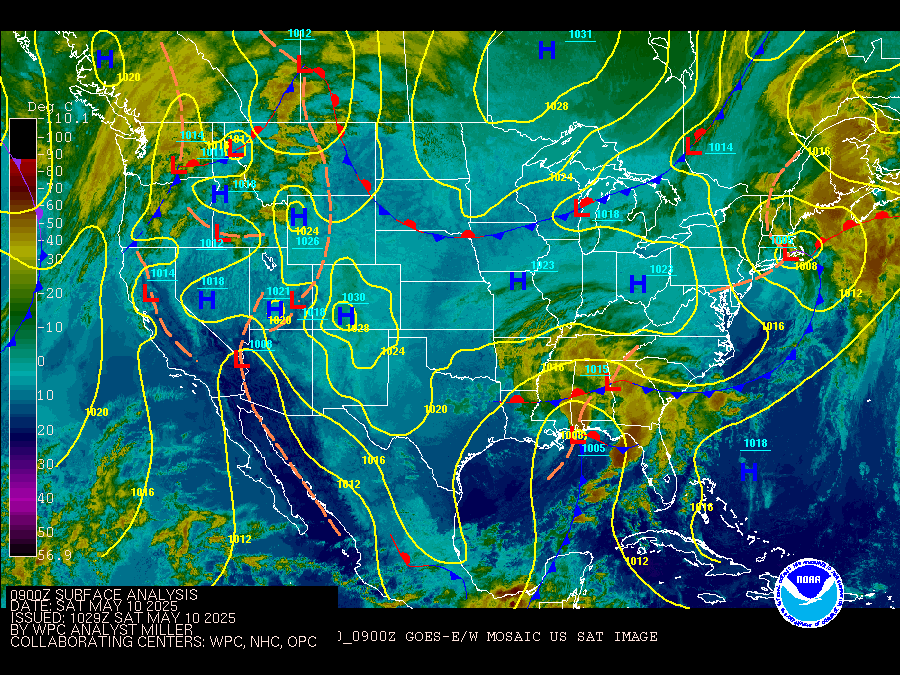
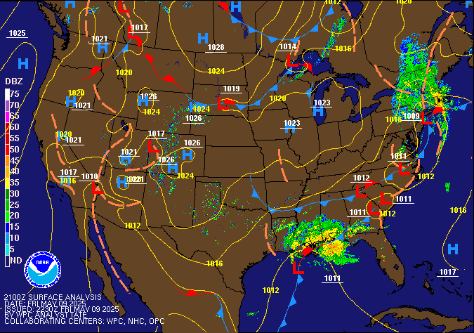
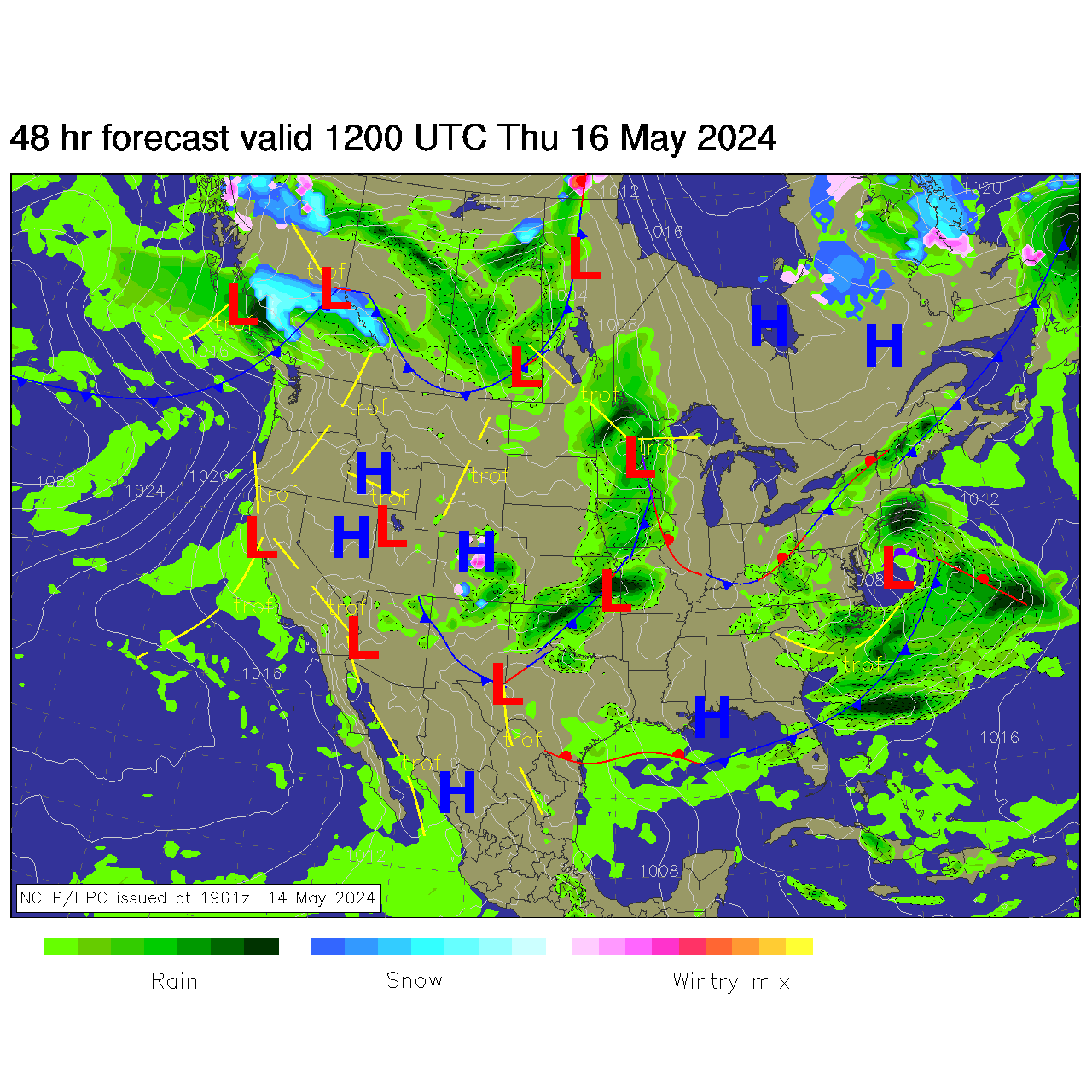
Three useful sites that provide surface weather data are:- WPC: The Weather Prediction Center (WPC) provides the latest analysis of North American and Continental U.S surface maps with frontal boundaries. You can find a fully contoured, U.S. surface map here
- MesoWest: The University of Utah provides real-time and archived surface observations from both standard sources and the various mesonets around the country.
- Iowa Mesonet: Iowa State University provides real-time and archived METAR data around the country.
Upper Air Data
Three useful sites that provide upper air data are:- SPC Observed Sounding Archive: The Storm Prediction Center (SPC) Sounding Archive provides Skew-T charts for all observed soundings across the United States, along with many experimental forecast tools and parameters. SPC also provides standard upper-air charts here.
- University of Wyoming: The University of Wyoming provides real-time and archived sounding data and Skew-T diagrams. They also provide upper-air charts here.
- Plymouth State Weather Center: Plymouth State allows you to create your own upper-air charts based upon current data and archived data.
Synoptic Analysis
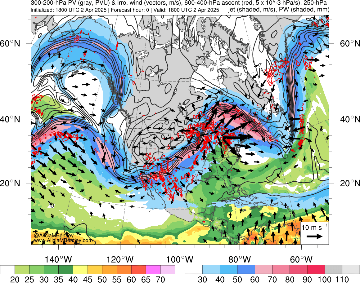
In addition to the surface and upper air analysis given above, there are other useful tools that are useful for synoptic weather analysis.- Upper Air Forcing: The SPC provides standard upper-air forcing terms such as differential vorticity advection, temperature advection, and frontogenesis forcing.
- Isentropic Analysis: The usefulness of isentropic analysis can be found here and a more mathematically rigorous discussion can be found here. The College of DuPage provides isentropic maps and cross section in their analysis section.
- QG Forcing: Quasi-geostrophic (QG) theory is a central framework in synoptic forecasting, and Thomas Galarneau has produced a site that gives real-time analyses and forecasts of the QG diagnostic equations. For more information on QG theory, see the section on Quasi-Geostrophic theory on my QuickStudy tools.
Mesoscale Analysis
Two useful sites that provide mesoscale analysis are:- SPC Mesoscale Analysis: The SPC provides one-stop shop of diagnostic tools for mesoscale analysis. This includes dynamical parameters, thermodynamic parameters, shear parameters, composite indices, precipitation, and winter weather indicators.
- RAP Mesoanalysis: Similar to the SPC, the College of DuPage has a large collection of diagnostic mesoanalysis tools based on the Rapid Refresh (RAP) model.
Forecast Models
There are many webpages that can be used to obtain NWP model forecasts. Here are four well-known sites:- Tropical Tidbits: The website hosts global models, ensemble models, hurricane models, mesoscale models and climate models.
- Pivotal Weather: This website hosts global models, ensemble models, and mesoscale models.
- TwisterData: This website hosts RAP, NAM, and GFS model forecasts and diagnostics.
- The e-Wall: The electronic map wall provides numerous diagnostics based upon the global, mesoscale, and ensemble models.
Current Synoptic and Mesoscale Analysis
Satellite and Radar Data
Satellite Data
 |
 |
 |
 |
Upper Air Data
Upper-Tropospheric Charts
 |
 |
 |

|
QG Diagnostic Charts
 |
 |
 |
 |
Lower-Tropospheric Charts
 |
 |
 |

|
 |
 |
Isentropic Charts
 |
 |
 |
 |
-Surface Weather Data-
Current Surface Maps
 |
 |
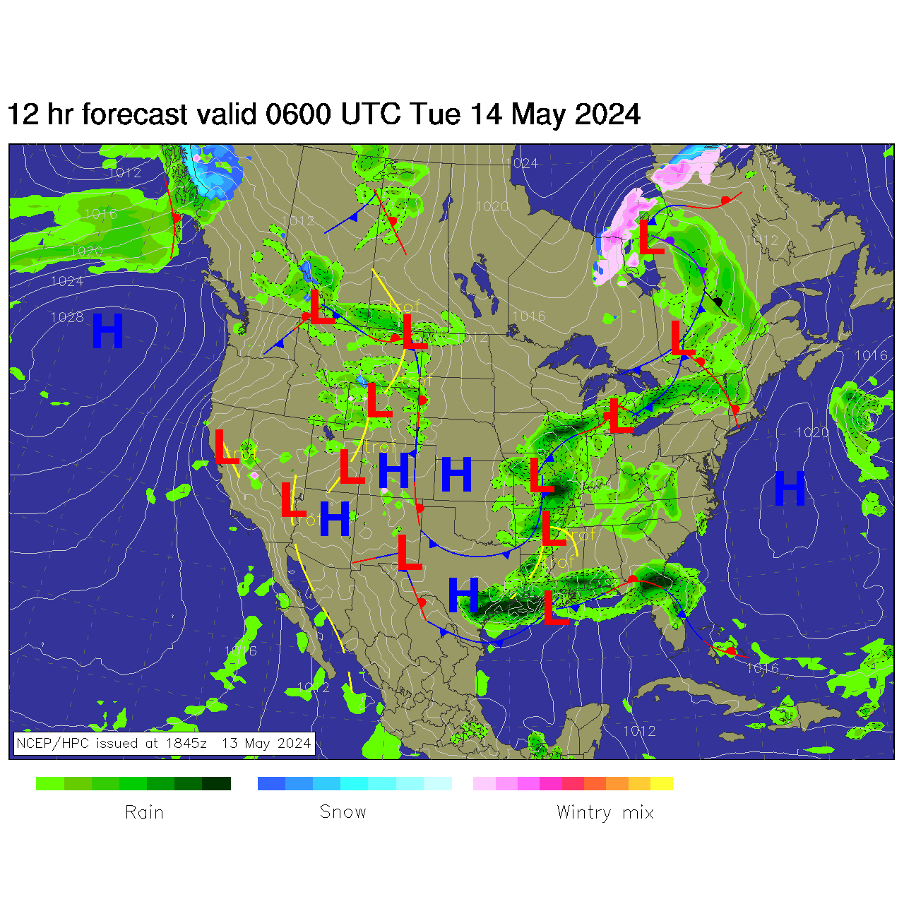
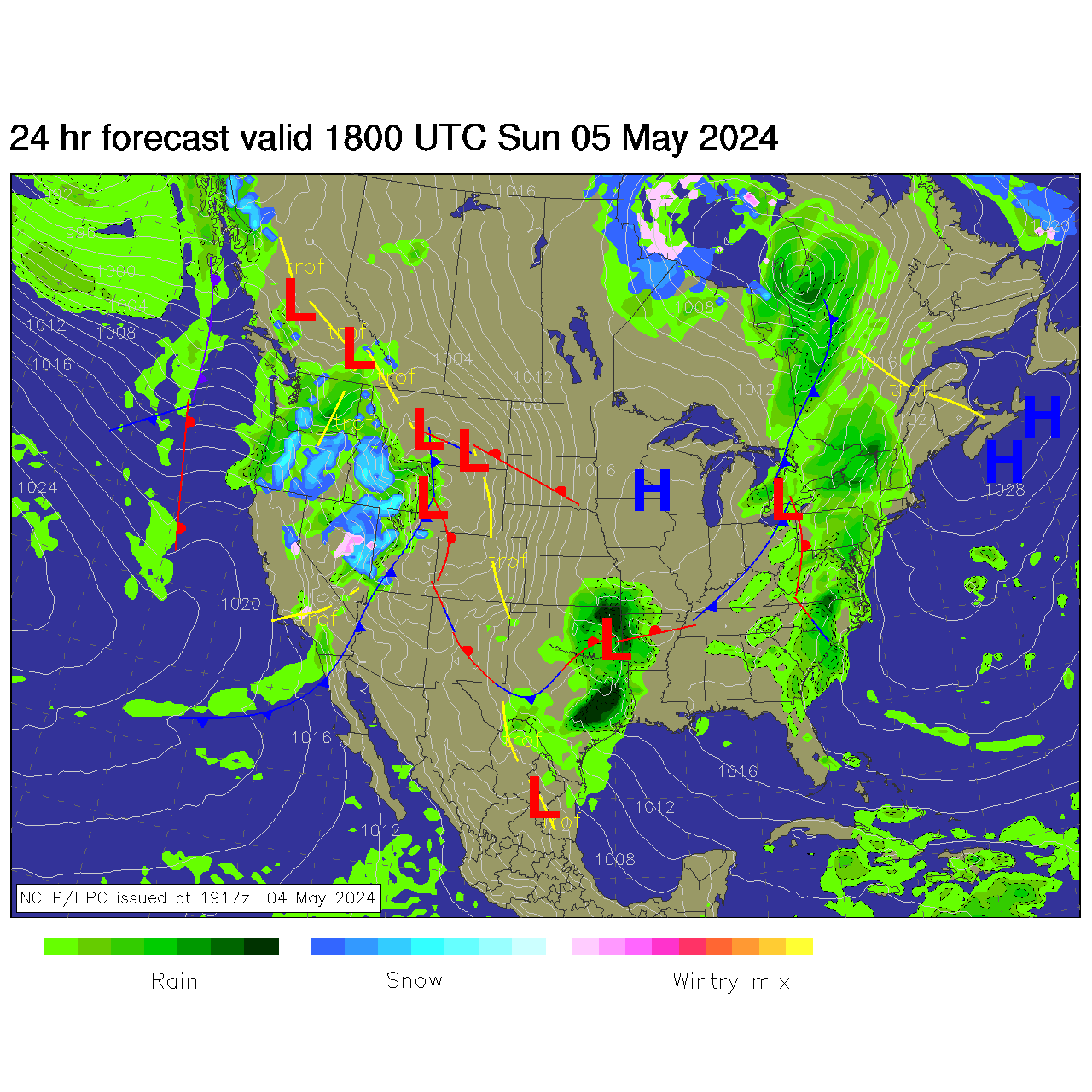
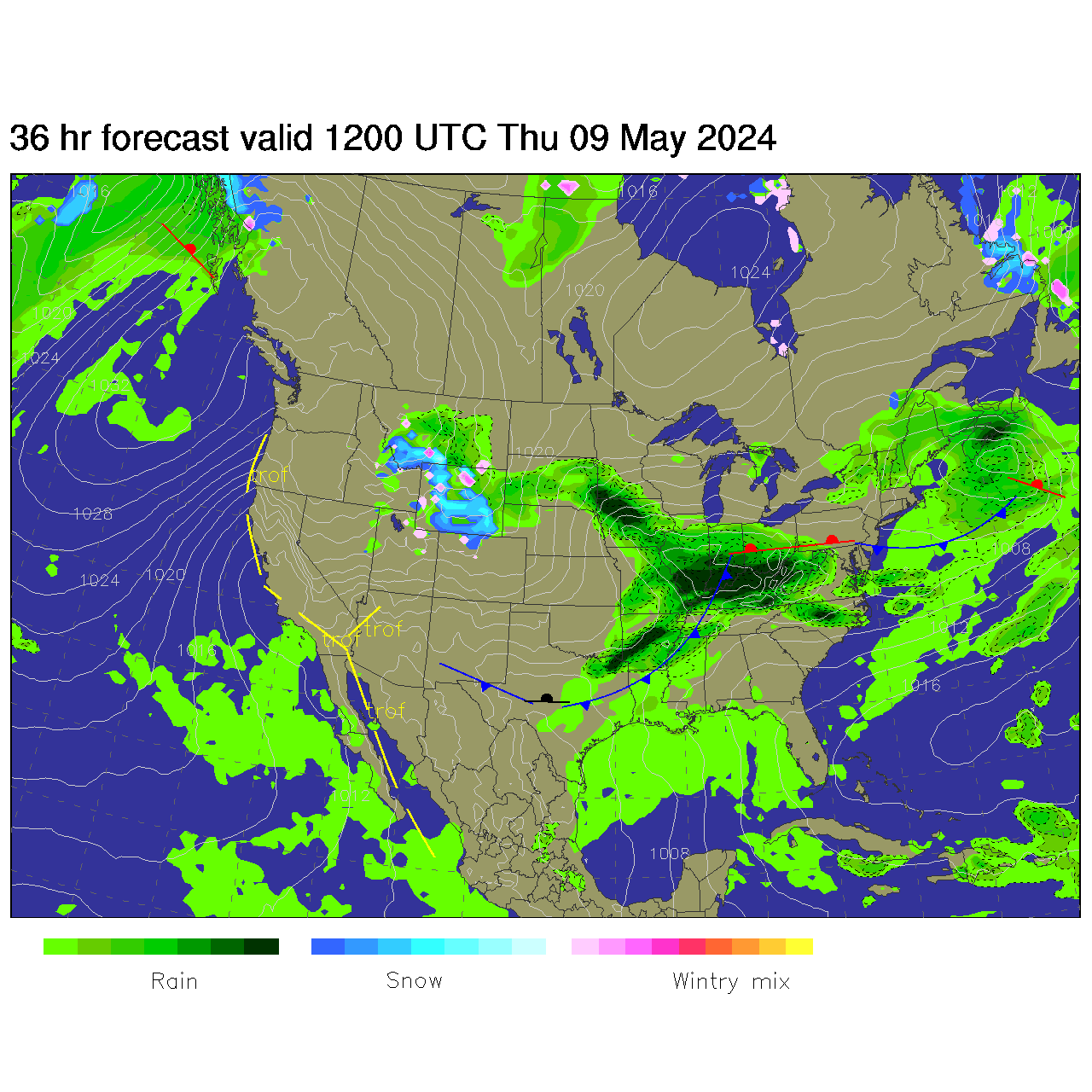
Forecast Charts
 |
 |
 |
 |